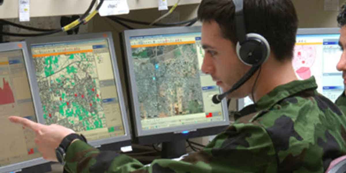
Modern defense operations depend heavily on understanding location. Terrain, infrastructure, environmental conditions, and the movement of assets can all influence how organizations assess situations and make decisions.
Geospatial data brings this information together, often combining satellite imagery, maps, sensor data and other location-based intelligence. Collectively, this can provide defense organizations with a clearer picture of what is happening across a particular area.
Building Situational Awareness
One of the most important applications of geospatial data is creating situational awareness.
Satellite imagery can provide a broad view of an area without requiring personnel to be physically present. When combined with other information, analysts can use these observations to understand terrain, infrastructure, and changing conditions.
Repeated imagery is particularly useful because it allows changes to be identified rather than providing only a single snapshot.
Monitoring Borders and Large Areas
Borders can extend across hundreds or thousands of miles, including remote regions that are difficult to monitor continuously from the ground.
Geospatial information can support broader border awareness by helping organizations understand terrain and identify significant changes across large areas. Satellite imagery is particularly valuable because the same locations can be observed repeatedly.
Geospatial intelligence is used for border security and persistent monitoring applications, demonstrating how location-based information can complement other forms of surveillance and intelligence.
Supporting Operational Planning
Geography has always been an important part of military planning.
Digital geospatial information makes it possible to analyze terrain, roads, waterways, buildings and other physical features together. Decision-makers can use this information when considering accessibility, logistics and environmental constraints.
The objective is not simply to produce a better map. It is to understand how geographical conditions could affect wider operational decisions.
Using AI to analyze Growing Data Volumes
The amount of earth observation data available has increased significantly, creating another challenge: determining which information actually deserves attention.
Artificial intelligence can assist by analyzing imagery at scale and highlighting relevant features or changes for further human review. Combining satellite access with Geospatial AI can therefore help organizations build geospatial information into larger data workflows, particularly where substantial areas or repeated observations need to be analyzed.
SkyFi’s API, for example, provides access to optical, synthetic aperture radar, aerial and stereo data and supports integration with existing geospatial workflows.
Assessing Infrastructure
Infrastructure is another major area where geospatial information can provide valuable context.
Roads, bridges, ports, airports, communications infrastructure and energy networks can all be examined geographically. Satellite observations can help organizations understand their location and surroundings while monitoring how conditions change.
This can also support disaster response. Following flooding, earthquakes, storms or other major events, geospatial data can help identify affected areas, assess damage and understand which routes or infrastructure remain accessible.
Improving Logistics
Defense operations depend on extensive logistics networks covering everything from equipment and fuel to personnel and supplies.
Geospatial data can provide context about the environments through which those networks operate. Terrain, infrastructure, and environmental conditions can all influence accessibility and resilience.
This is particularly valuable in remote locations where current ground-level information may be limited.
Turning Location Into Intelligence
The value of geospatial data to the defense sector ultimately comes from its ability to turn location into context.
Maps show where things are. Modern geospatial intelligence goes further by combining imagery, sensor information, historical observations and analytics to understand what is happening and how an area is changing.
As satellite imagery and AI-enabled analysis become more accessible, defense organizations have increasingly powerful ways to process large volumes of geographical information. The result is a more detailed understanding of physical environments that can support planning, monitoring, logistics and informed decision-making.